
Topcon Office is an advanced software solution designed for contractors and surveyors, allowing the integration of topographical data with project plans to create digital 3D models. This software helps efficiently prepare data for machine control, perform as-built surveys, and manage other construction and surveying processes.
Key Features of Topcon Office:
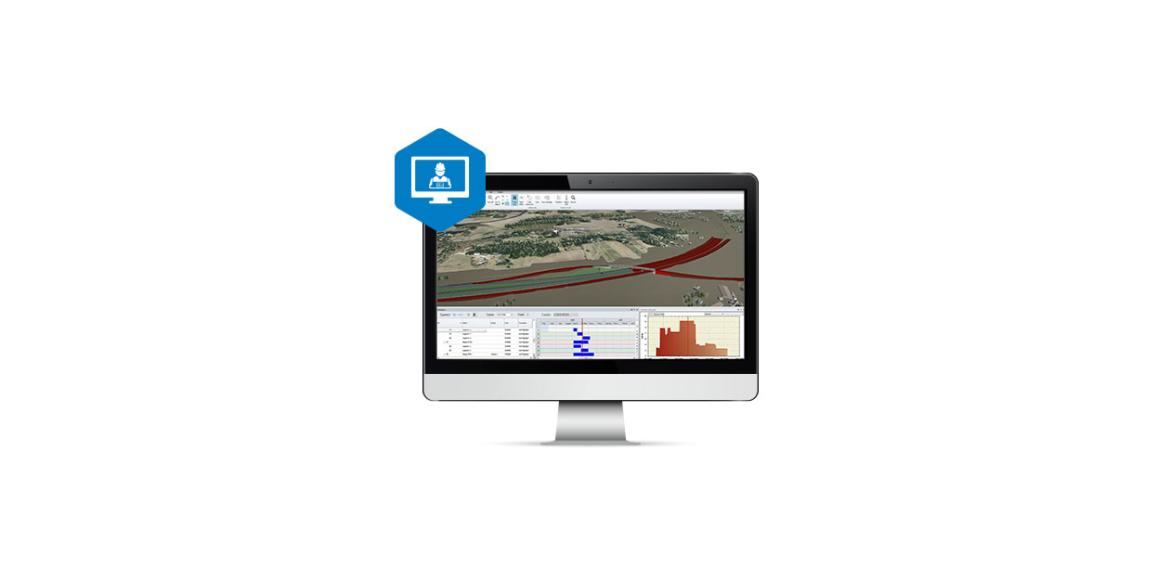
Creation of Digital Terrain Models: Integrates topographical data with project plans to create accurate 3D terrain models, which are used for site topography and machine control.
Data Preparation for Machine Control: Ensures smooth data transfer between machine operators, GPS instruments, slope checkers, and other project participants, using common file formats.
Advanced Design Tools (Site Prep Module): Offers tools for designing roads, excavations, corridors, intersections, material quantity calculations, visualizations, and road upgrades.
Surveying Tools (Survey Module): Includes tools for geodetic measurements and plot drawings, allowing data processing from various measuring devices such as total stations, GNSS receivers, and digital levels.
Integration with Other Topcon Systems: Seamlessly integrates with 3D-MC, Pocket3D, and Sitelink3D, enabling efficient management of machine control data, slope checks, and other Topcon workflows.
Topcon Office enables contractors and surveyors to efficiently manage project data, ensuring precision and smooth collaboration among team members.
